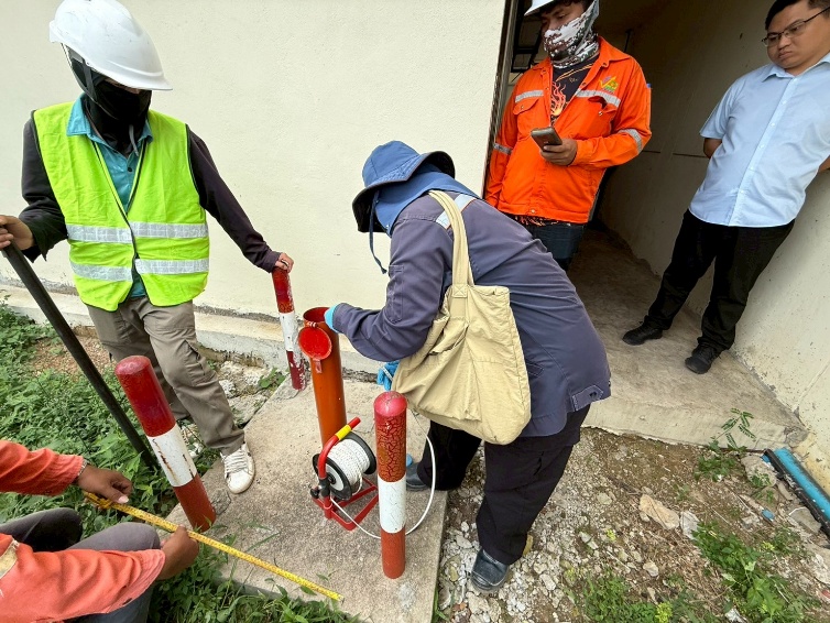
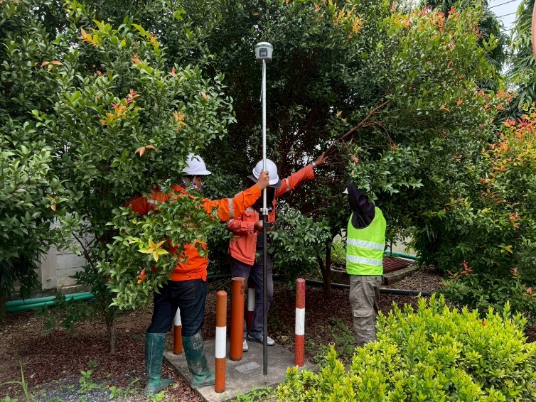
We conduct groundwater level surveys relative to mean sea level using Real-Time Kinematic (RTK) satellite surveying techniques. This method ensures highly accurate measurements and can be applied to confirm groundwater flow directions with precision.